
Reserved for Mark H*** 1863 Map and Accompanying Book & Pamphlet
$200.00
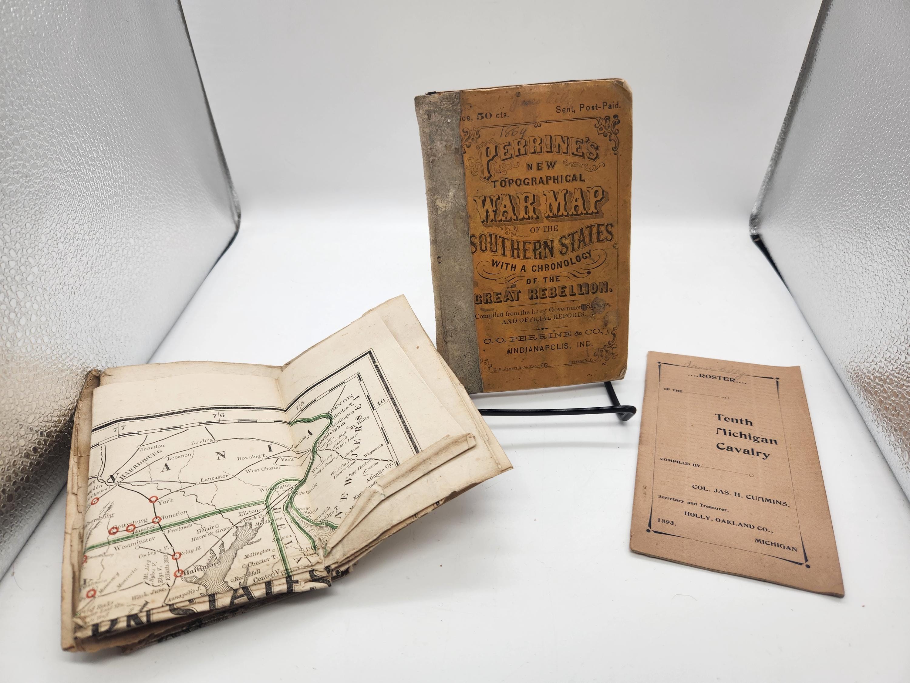
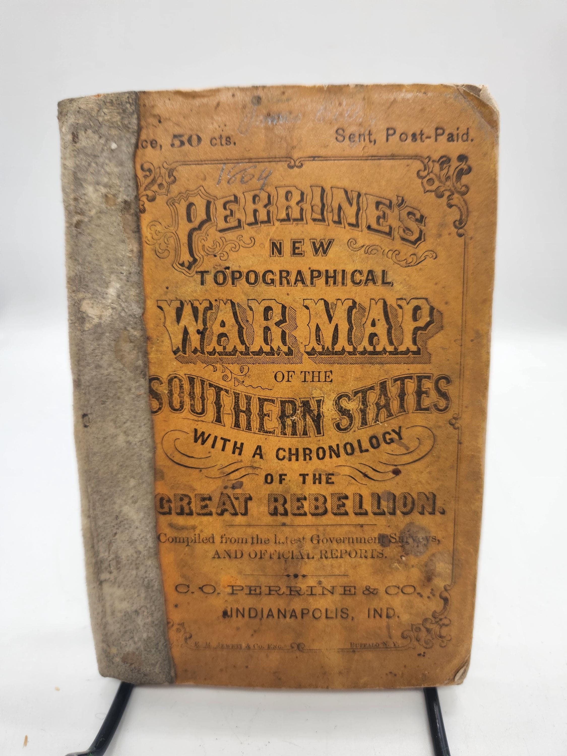
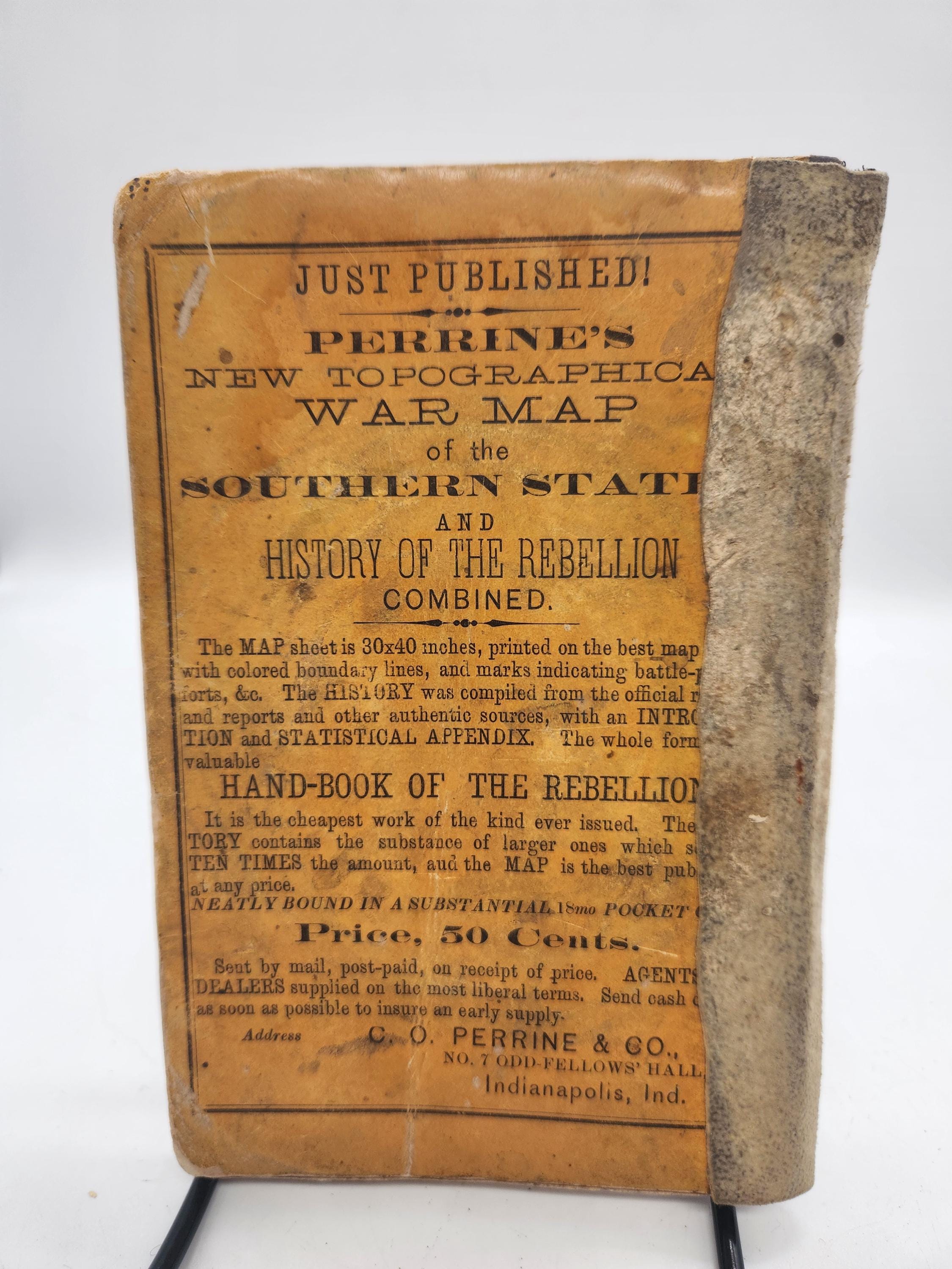
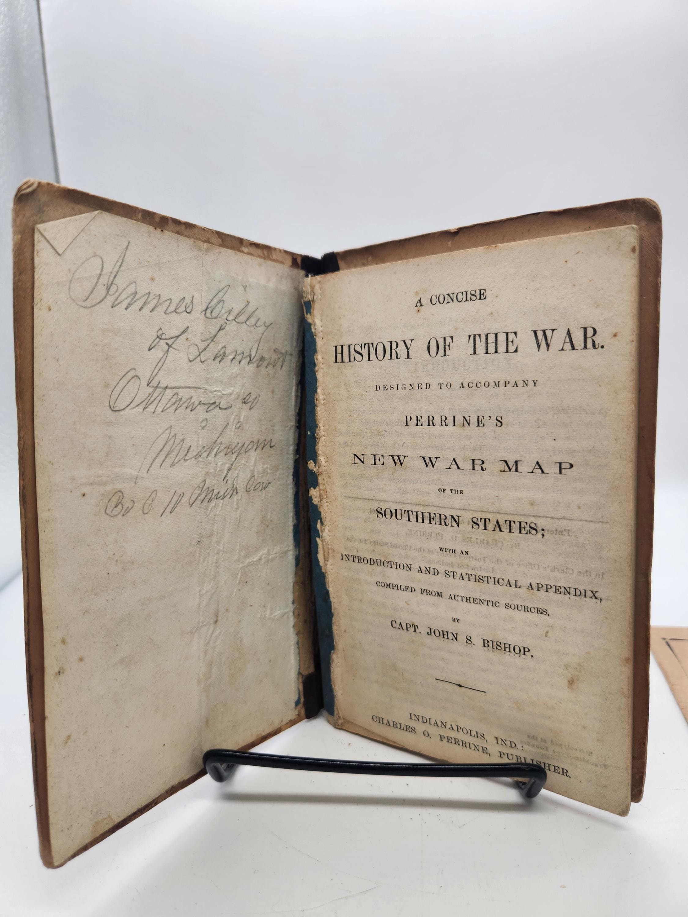
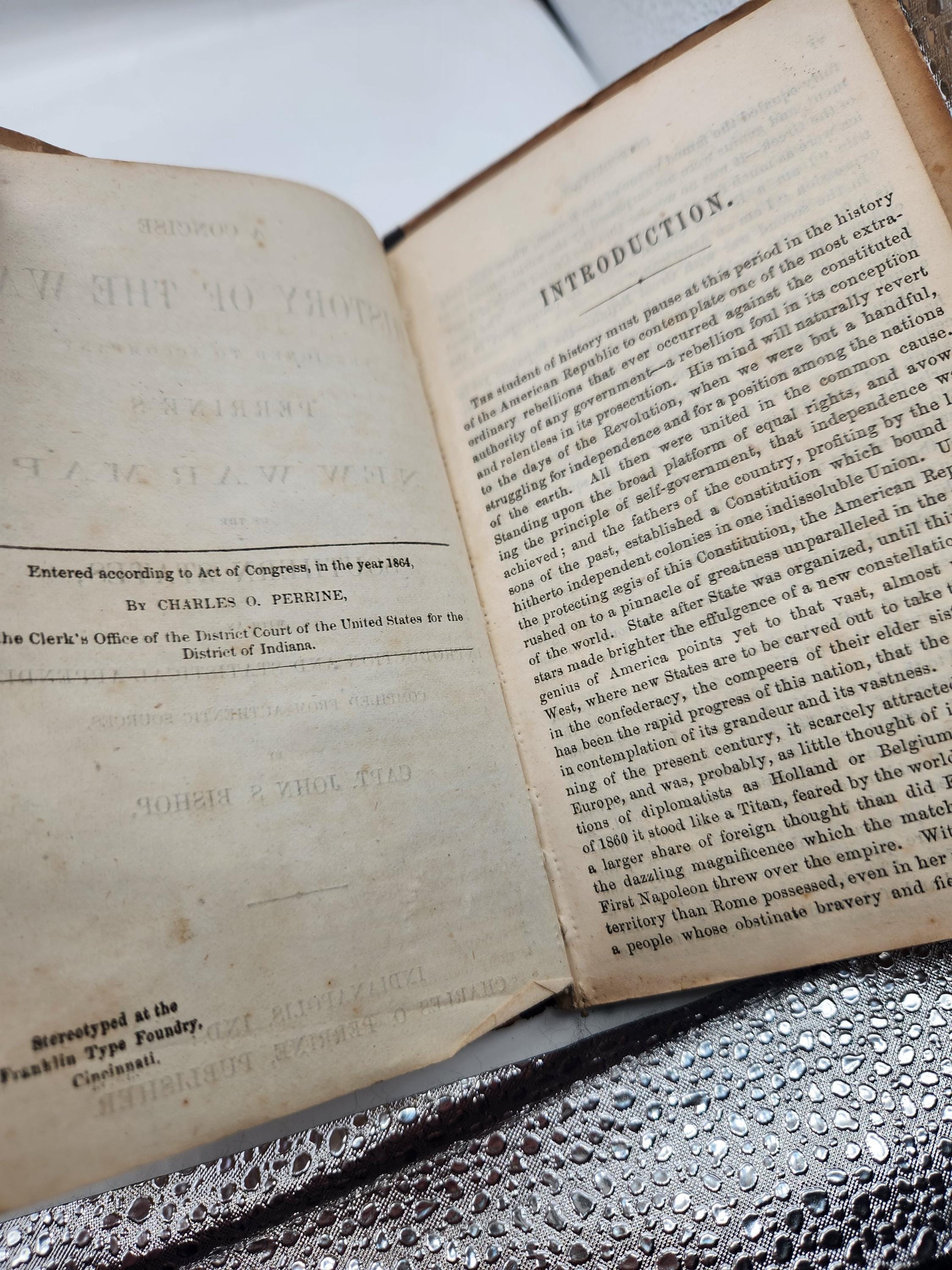
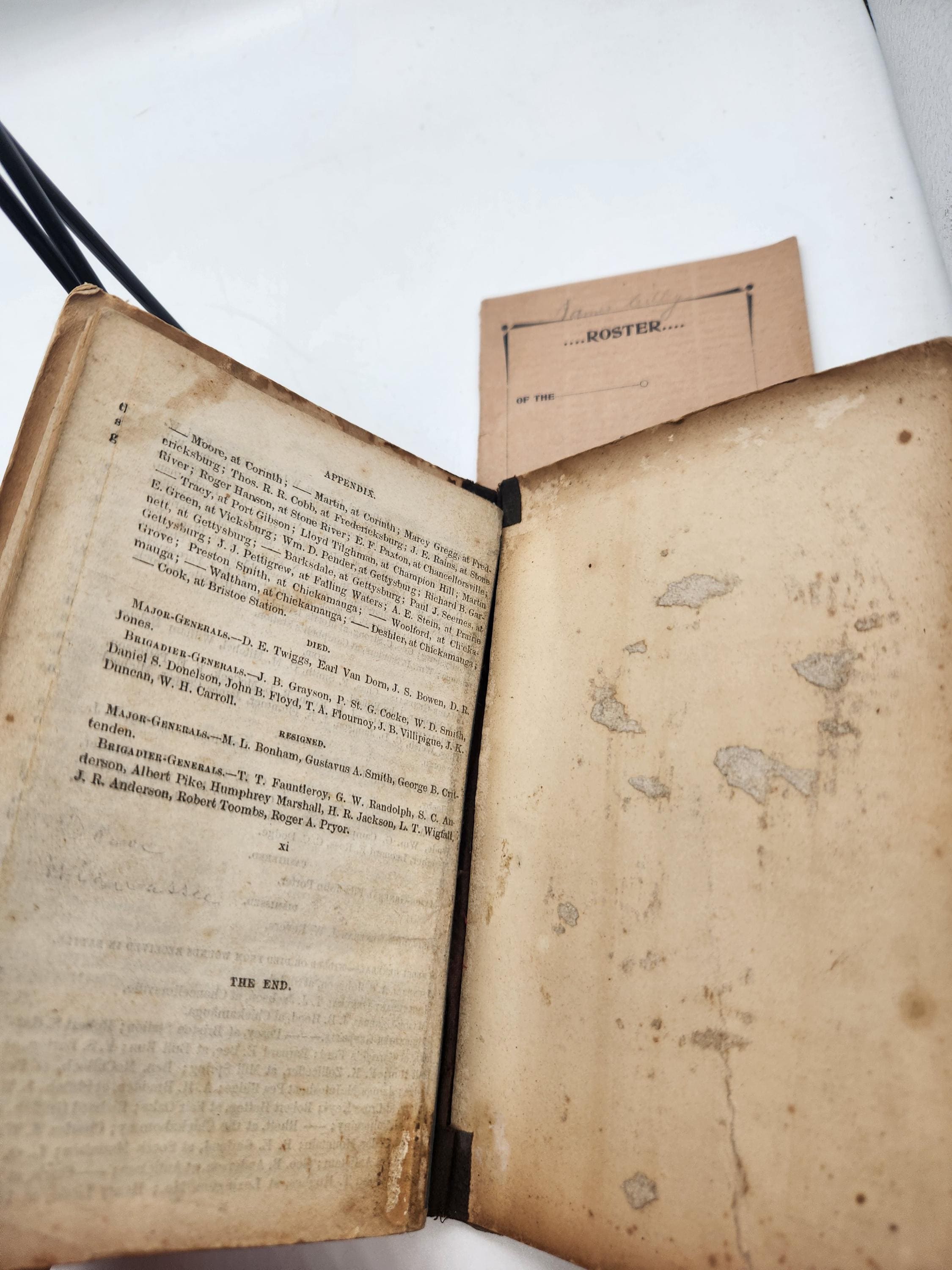
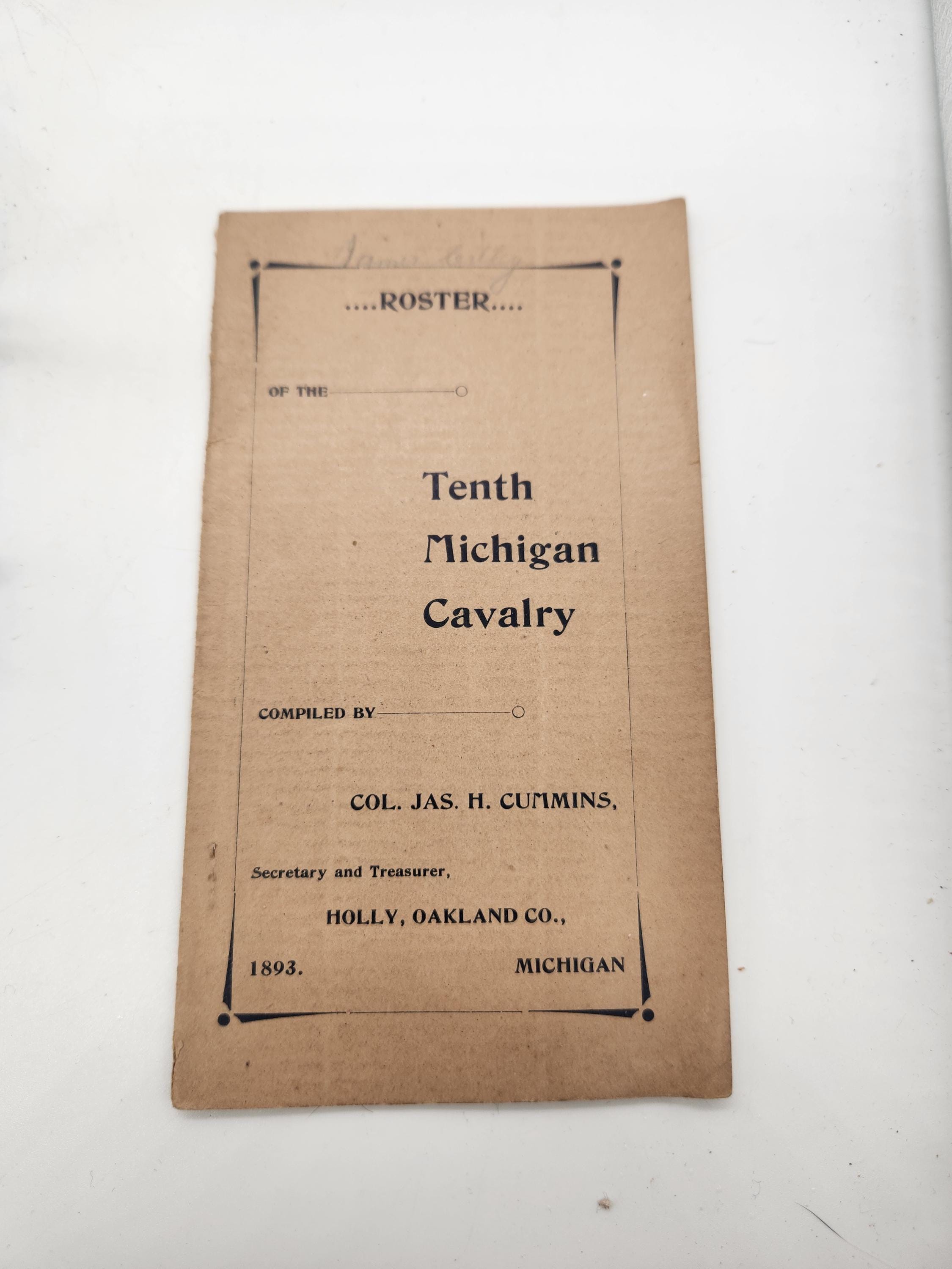
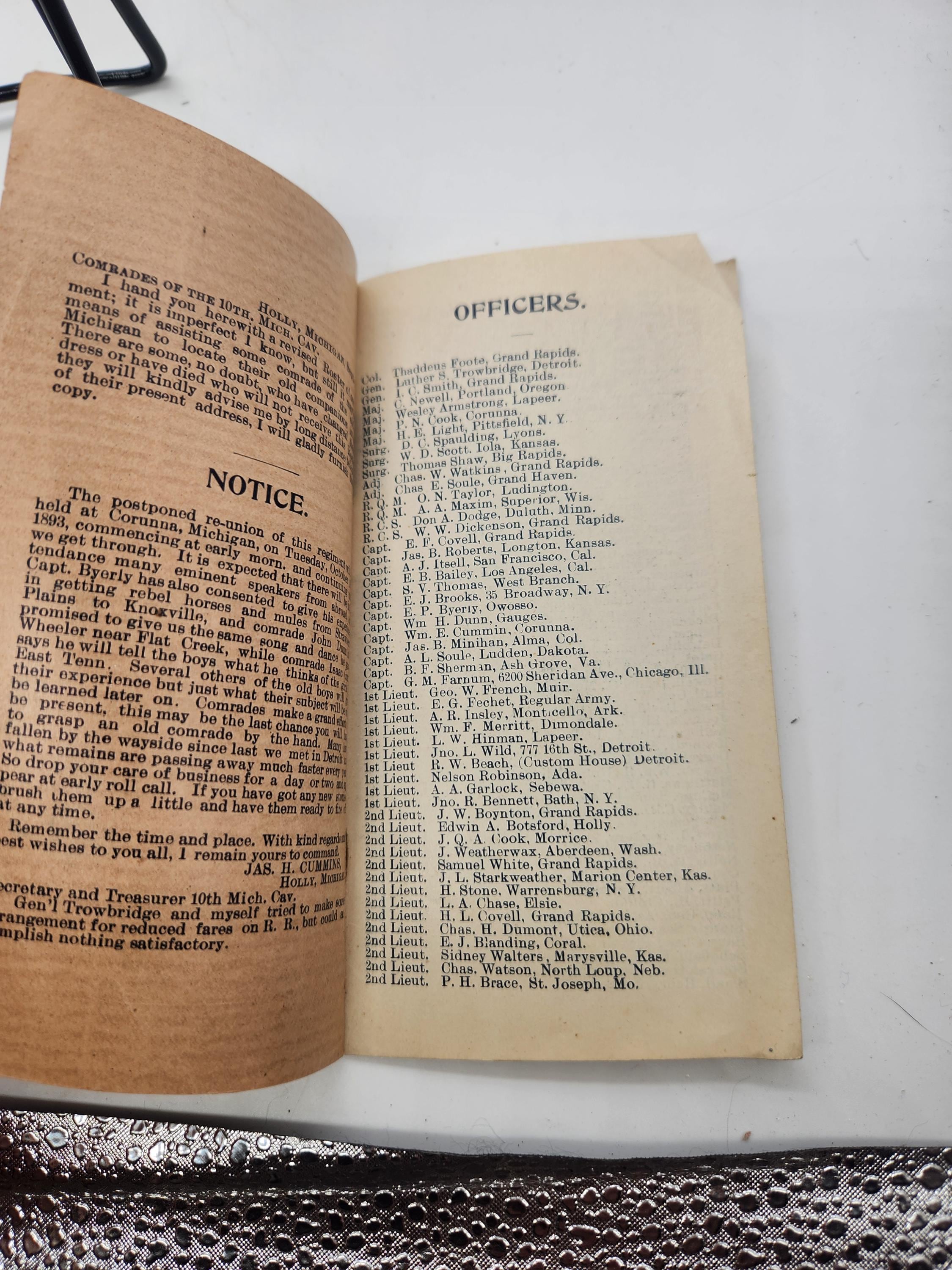
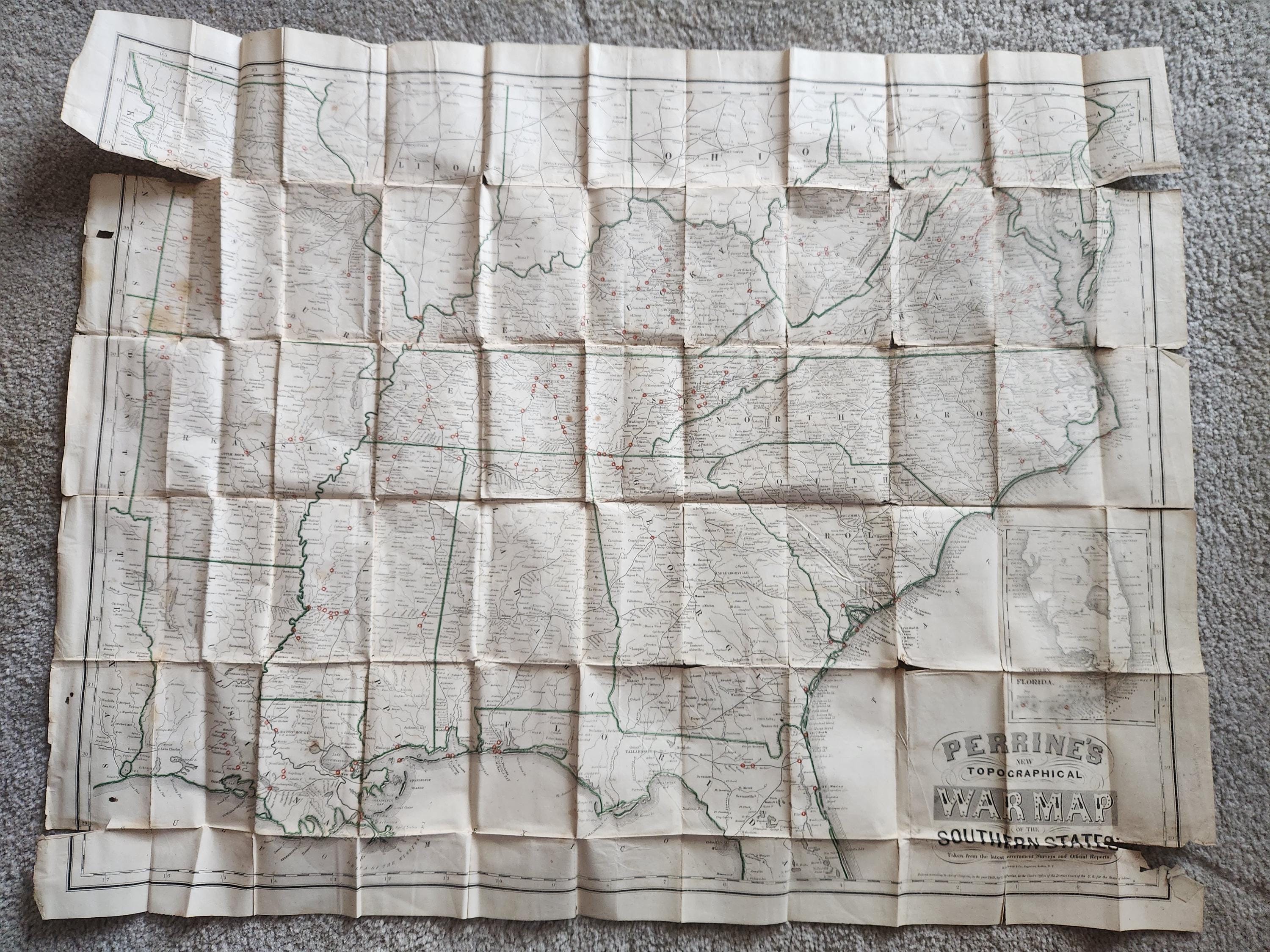
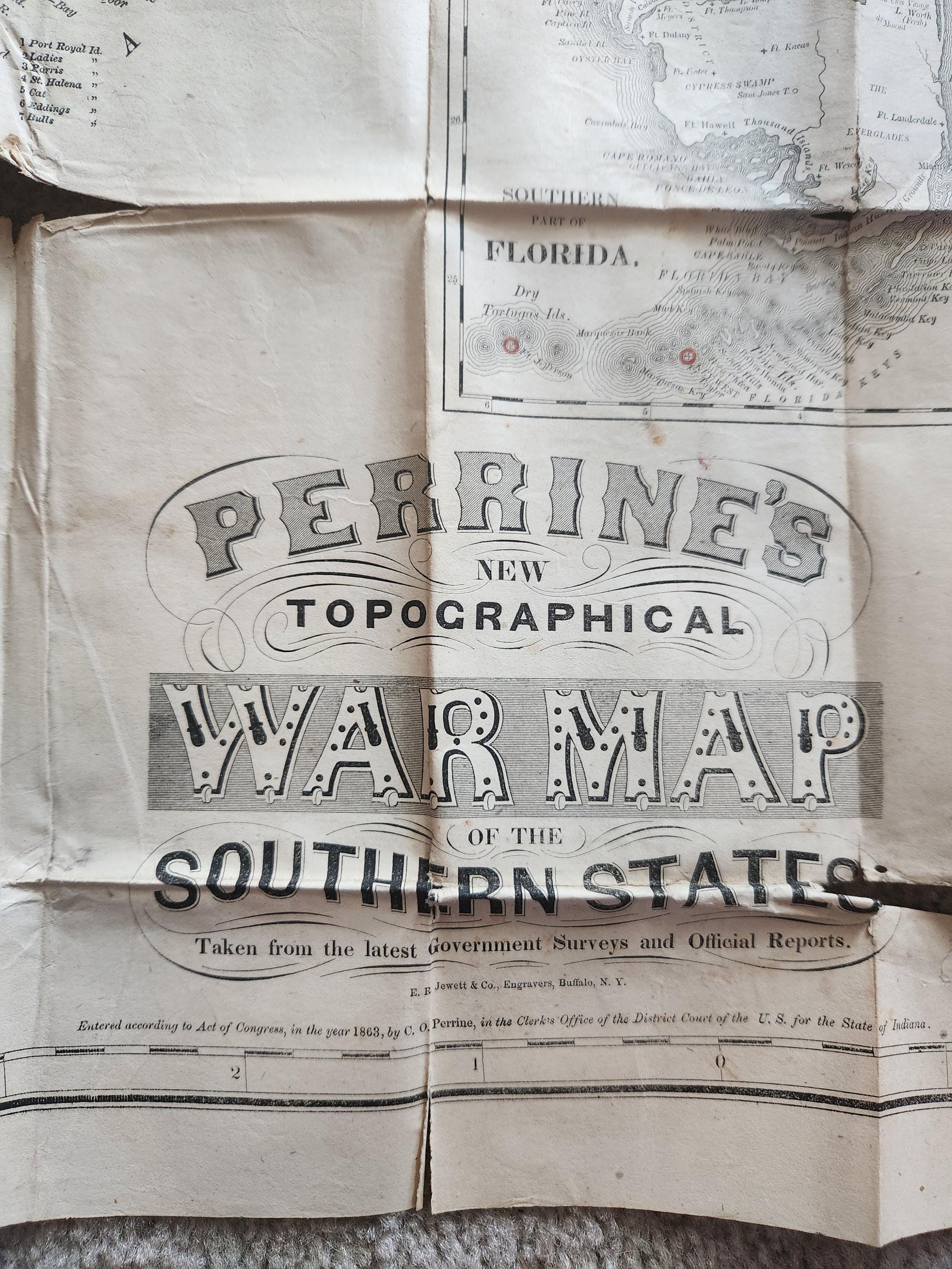
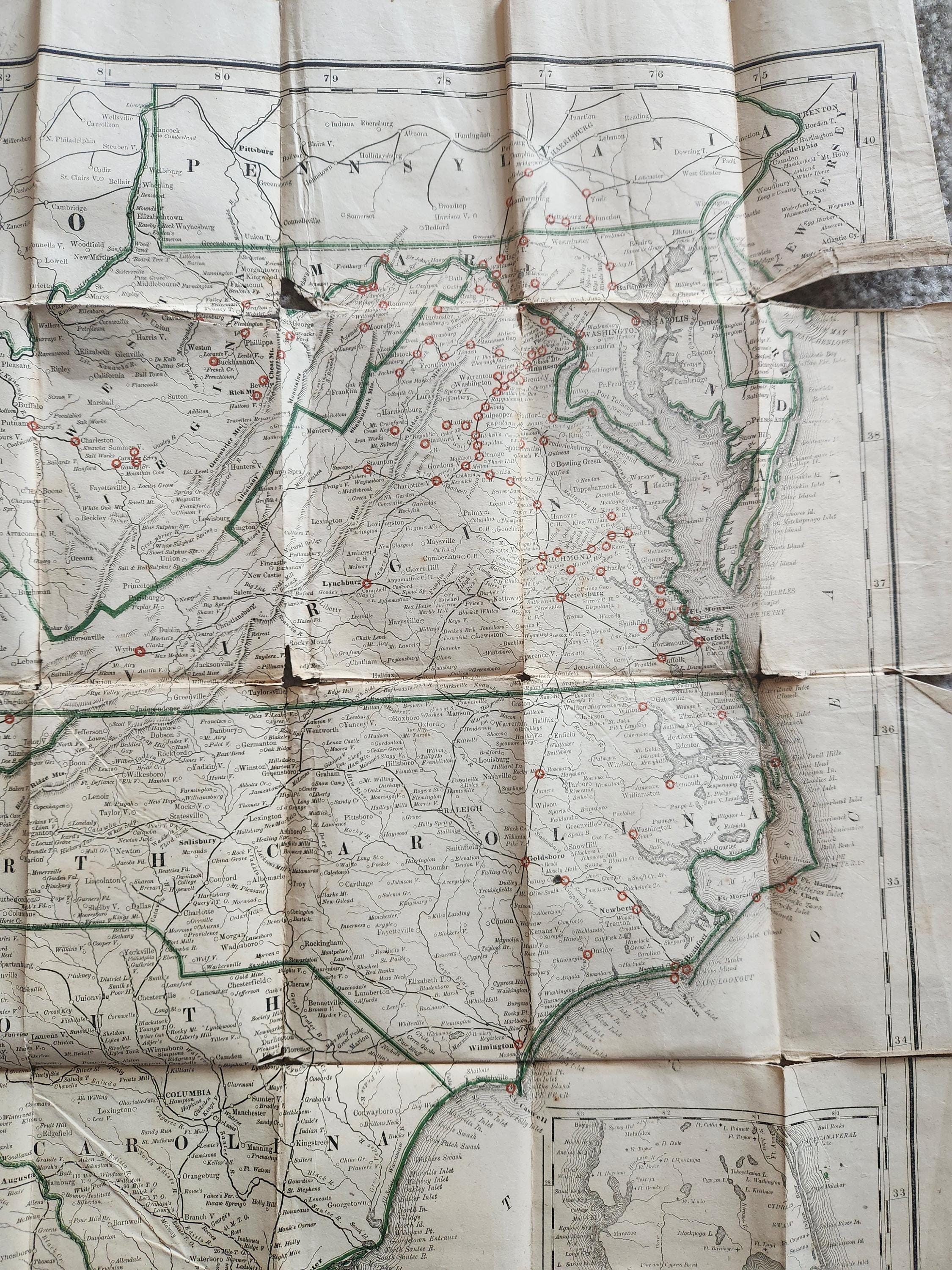
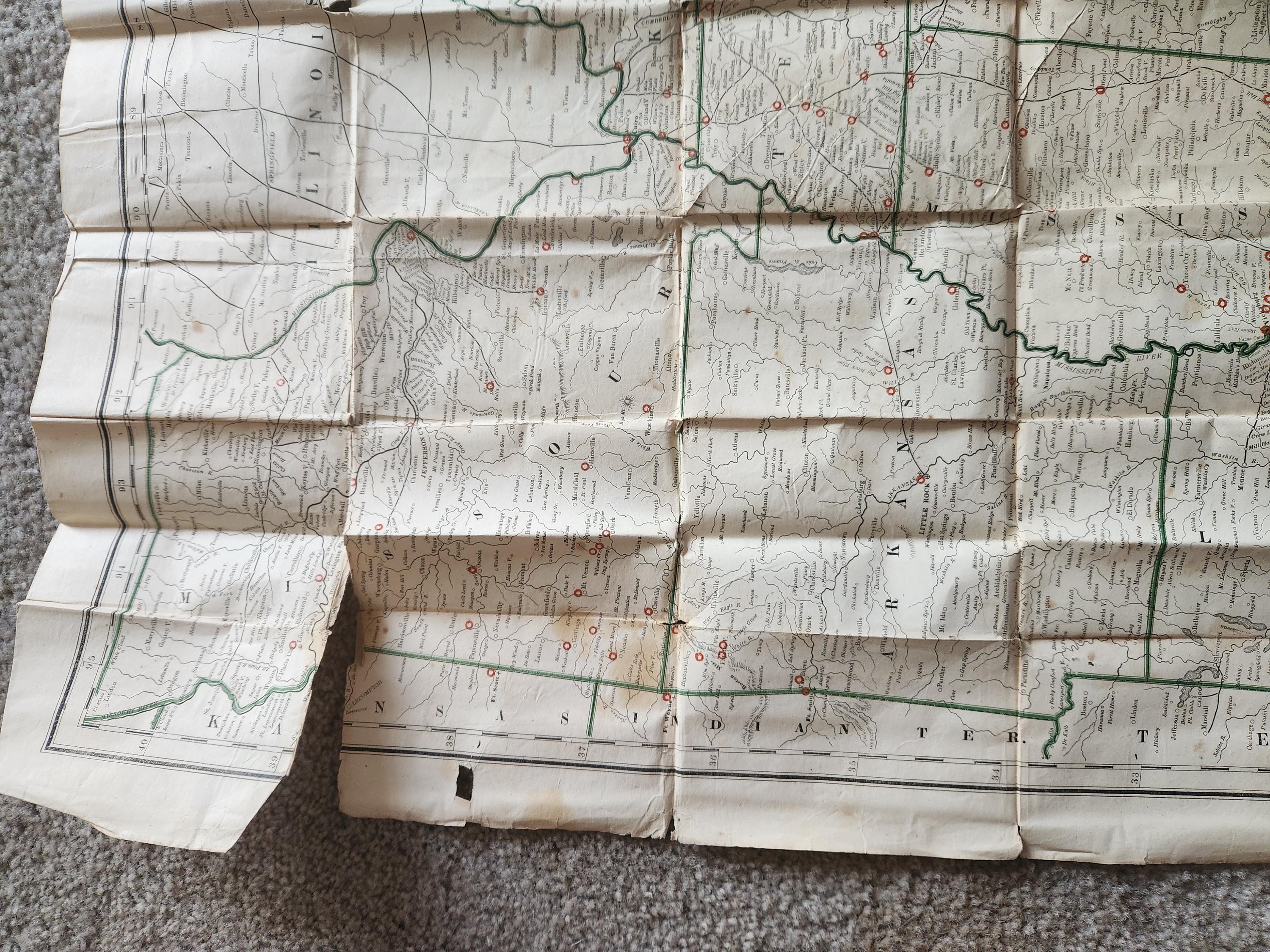
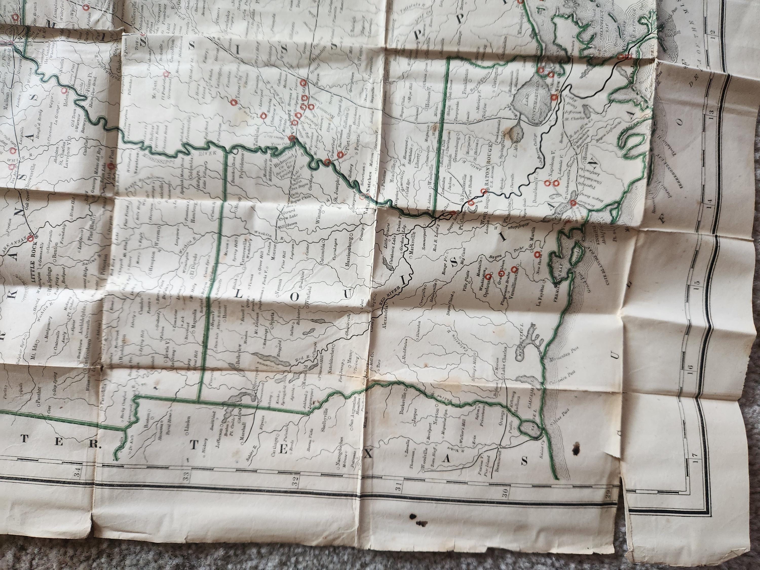
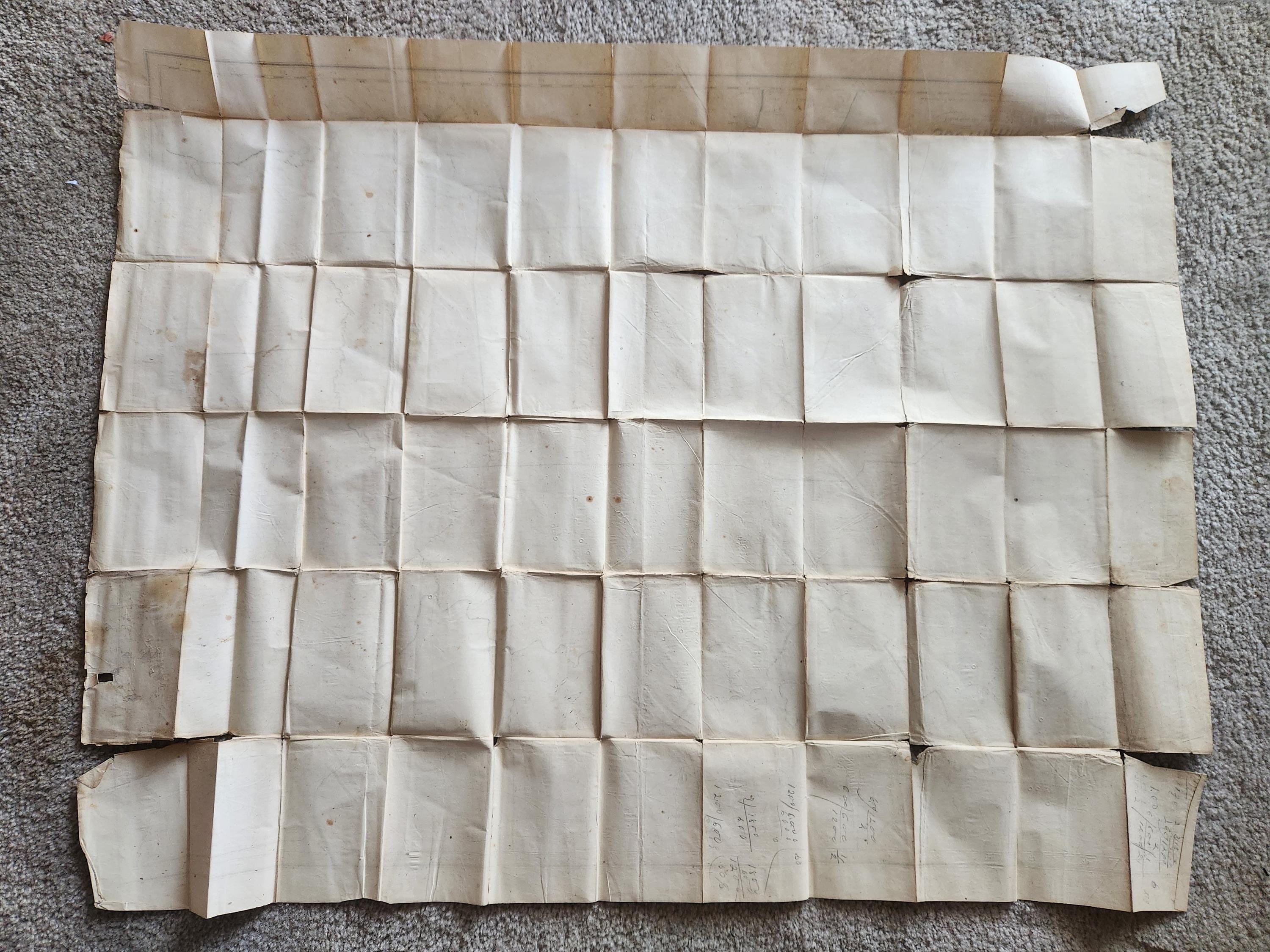
First edition civil war era map and complete accompanying book, the map is titled "Perrine's New Topographical War Map of the Southern States" and was published in 1863, Full map size: 40" by 31". States outlined in green and Civil War battle sites circled in red with a few small stains. This large folding map of the Southern States is filled with small red circles indicating the sites of major Civil War battles from Pennsylvania to Florida and west to Arkansas and Missouri. Roads, railroads, cities, and rivers are also depicted, with an inset of the southern portion of Florida. Engraved by Jewett & Co. The accompanying book is fully titled "A Concise History of the War", "Designed to Accompany Perrine's New War Map of the Southern States, authored by Captain John S. Bishop, and published by Charles O. Perrine, 1864. The book is in acceptable condition, having had an old binding cloth repair on the spine, front illustrated orange boards nicely visible with damp staining, interior clean. Map condition is also acceptable, having fold lines, minor wear and tears along creases. History: This map was owned by James Cilley of the Tenth Michigan Cavalry. Included with this item is an 1893 Roster of the Tenth Michigan Cavalry booklet, bearing the names of all the men in the unit, compiled by Col. Jas. H. Cummins.
Shipping from United States
Processing time
1-2 business days
Customs and import taxes
Buyers are responsible for any customs and import taxes that may apply. I'm not responsible for delays due to customs.
Payment Options
Returns & Exchanges
I gladly accept cancellations
Request a cancellation within: 0 hours of purchase
I don't accept returns or exchanges
But please contact me if you have any problems with your order.
Privacy policy
No information is shared, stored, or used outside of what is necessary to complete transaction.